Understanding the Importance of Topographic Surveys and Underground Utility Locations
Topographic surveys are important for pinpointing underground utilities. Find out how Util-Locate can help with everything from topographical surveys to utility locating services. Discover how accurate surveys make a big difference for your excavation and construction projects in California!
Read More
How to Detect Environmental Hazards With GPR
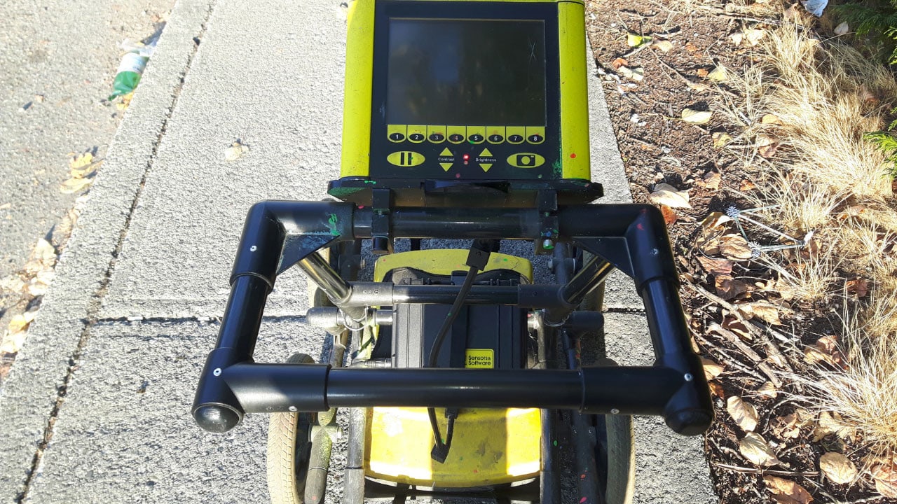
Ground Penetrating Radar (GPR) is an effective technology for detecting environmental hazards. It uses electromagnetic waves to create subsurface images, identifying various materials and structures. Here’s how to use GPR for detecting environmental hazards.
Read More
How Drone Technology Enhances Ground-Penetrating Radar
The integration of drone technology with Ground-Penetrating Radar offers a powerful tool for subsurface investigations across various fields. By improving accessibility, efficiency, data quality, and cost-effectiveness, drones enhance the capabilities of GPR, making it possible to conduct comprehensive and detailed surveys in a wide range of applications. As technology advances, the synergy between drones and GPR will continue to expand, opening new possibilities for exploration and analysis.
Read More
Tolerance Zone and Best Practices During Excavation
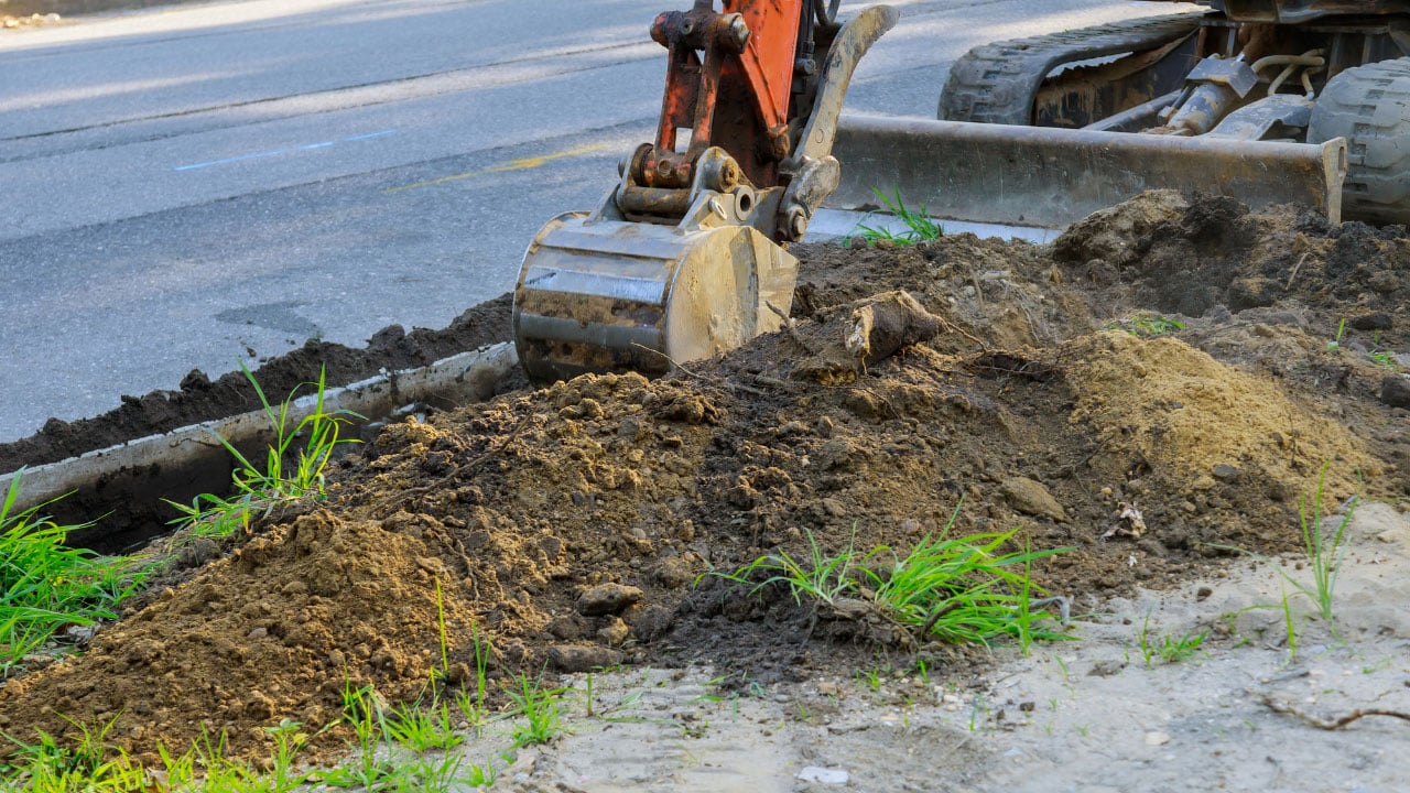
The tolerance zone is a crucial concept in excavation work to prevent damage to underground utilities and ensure safety. Here’s an overview of what the tolerance zone is and best practices to follow during excavation.
Read More
Utility Color Coding: What Do Utility Marking Colors Mean?
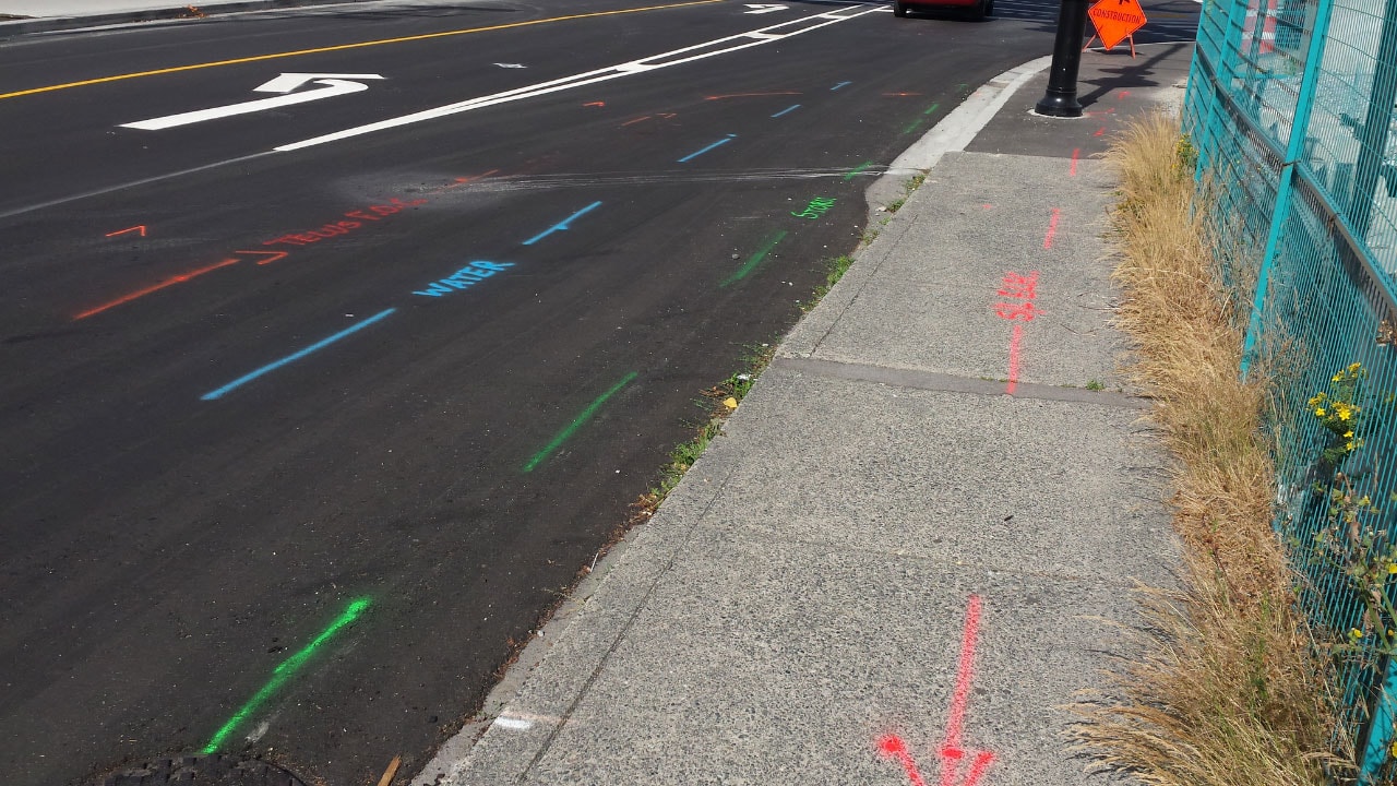
Understanding utility marking colors is crucial for anyone involved in excavation, construction, or landscaping. By recognizing and respecting these color codes, workers can enhance safety, avoid damaging essential services, and comply with regulations. Always remember to contact your local utility locating service before starting any digging project to ensure all underground utilities are properly marked and identified.
Read More
Utility Locating Guide: What To Do About An Exposed Power Line
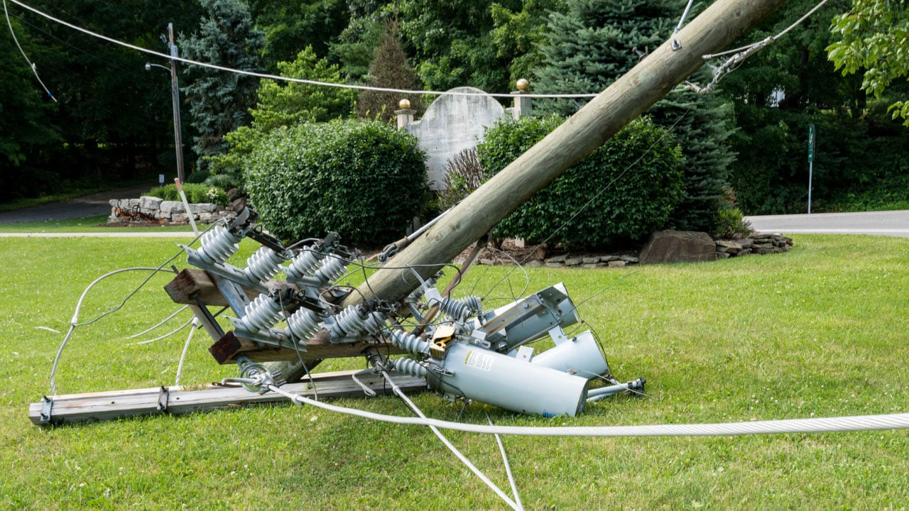
Dealing with an exposed power line is a serious safety hazard that requires immediate attention. Exposed power lines can cause electrical shock, fires, and other dangers to people, pets, and property. Here’s a comprehensive guide on what to do if you encounter an exposed power line.
Read More