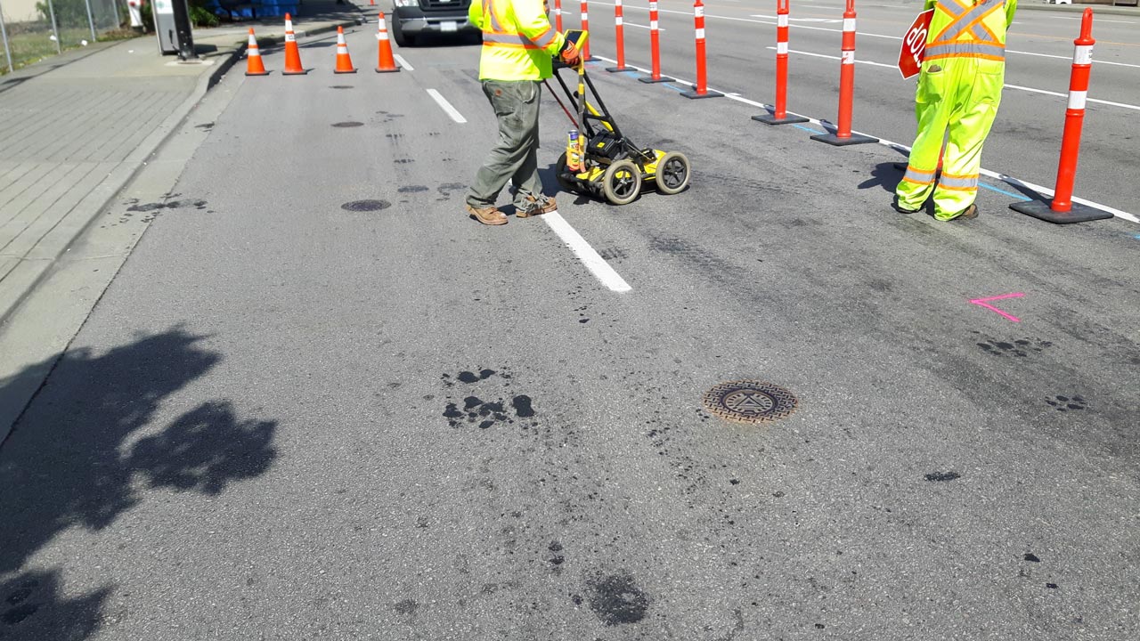
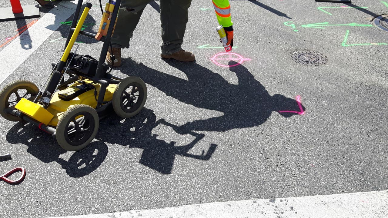
Ground-penetrating radar (GPR) equipment, also known as ground probing radar, is used in geological surveying like utility mapping.
What is a GPR?
The GPR technology is a very important set of equipment for those who are working in non-invasive surveying, especially during utility mapping. A GPR system allows underground utilities to be found as well as other subsurface objects like conduits, rebar, voids, and other characteristics of the ground.
How Does a Ground Penetrating Radar Technology Work?
Ground-penetrating radar technology uses an energy pulse to generate images underneath the job site. A computer receives the output and it undergoes data processing to perform its subsurface investigation. It takes the strength and time delay of the outgoing and returning signals and uses them to convert the data collected onto digital media.
It works because different material properties affect the electromagnetic pulse. Factors can affect these signals, which include:
- Soil conditions
- Buried objects
- Freshwater
- Concrete, dry sand
- Wet sand
- Sandy soils
- Depth
- Other structural elements
- Subsurface features
This powerful tool is not limited by surface either. A GPR system can work on a variety of different surfaces like soil, ice, rock, fresh water, pavements, and concrete structures to name just a few.
It is versatile in its uses such as locating rebar, subsurface structures, or buried objects—even going as far as identifying the make and material of it.
Benefits of Utilizing Ground Penetrating Radar Equipment
GPR has a variety of uses and benefits. Its ability to identify metallic and non-metallic utilities and services, as well as work in unfavorable and favorable conditions makes it an indispensable tool in the field.
The collected data not only gives you the depth of the main components of a material, but also allows workers to identify polyethylene water and gas pipes, fiber-optic cables, and other elements that would otherwise be undetectable.
Data is gathered when combined with other collecting devices and systems like electromagnetic energy detection, accurate specific depths, the minor differences between two materials, small objects, large objects, subsurface mechanical properties, and a range of other information.
These systems can function in remote sensing work with accurate and reliable results. The resulting GPR data can ensure that no sensitive sites are disturbed by digging. The use of radar provides cost and time-saving benefits over older techniques such as x-rays.
These devices can use the data from these reflected signals to give early warning signs before any damage is made or before anyone is exposed to any dangers during construction. In the event of an already existing problem, this radar signal device can help diagnose the problem quicker and more accurately.
These machines have a place outside of construction and infrastructure as well. They can be used in geological studies and geophysics. They are used in environmental surveys and the study and assessments of earthquakes. They’re even used in the study of trenchless technology and directional drilling.
Find a Reliable Ground Probing Radar for Your Needs
If you’re looking for a GPR service you can trust, our team of experts is ready to take on the job and provide you with high-quality work. We use the latest equipment and cutting-edge technologies.
We produce cost-effective, fast, efficient, and accurate GPR survey solutions that stem from over 13 years of experience.
To learn more about our GPR services, contact us at 888-885-6228 at Util-Locate today!


