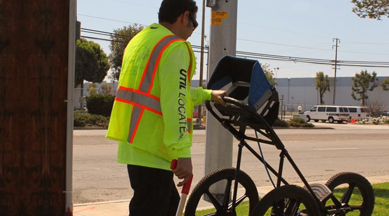
Util-Locate provides Subsurface Utility-line Mapping services to our clients including field-mapping and providing Computer Aided Drawing in PDF format for future use.
After we field-locate and identify the utility lines, we then field-map the locations by physically measuring off-sets from buildings and or landmarks and noting the utilities by drawing-in the locations on a site-plan.
We can take it one-step further by providing you with a Computer Aided Drawing or AutoCAD to be implemented on an existing site-drawing for record or future use. We will also save the drawing in PDF format for easier viewing which will give you the liberty in transferring the e-file drawing via e-mail to whomever and whenever you would like. In order to provide you with a finished product, we would need from you a CAD file of the project site for this work to be done. See more underground utility locator.
Further Information:
Util-Locate is not a licensed Civil Engineer or Surveyor in-order for our mapping-work to be certified. We map the utility-locations as accurately as possible by using measuring & mapping tools. Our mapping work is to show all surveyed utilitities & give our client a basic overview of the project they are engaging in and to help assess what to expect when designing or performing the preliminary site-work.